Forkboy2 U.S. Ortho Photo 1.1
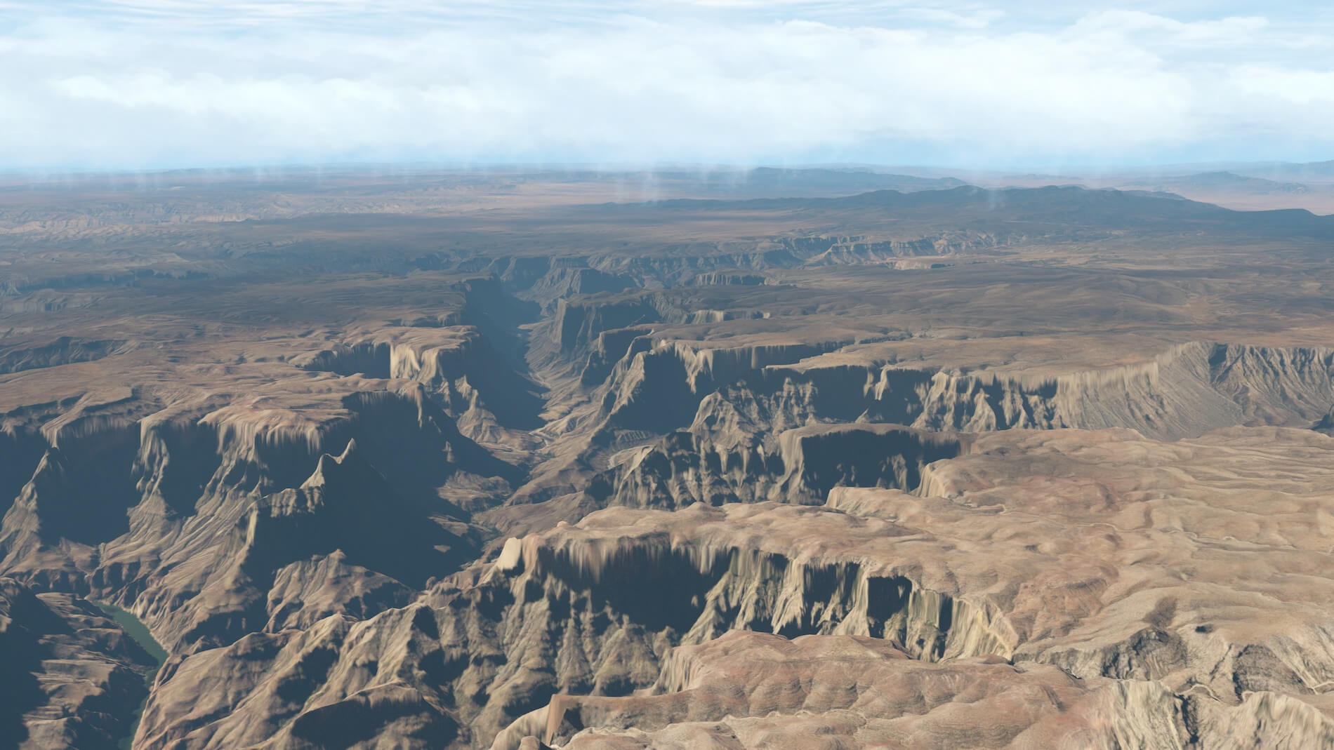
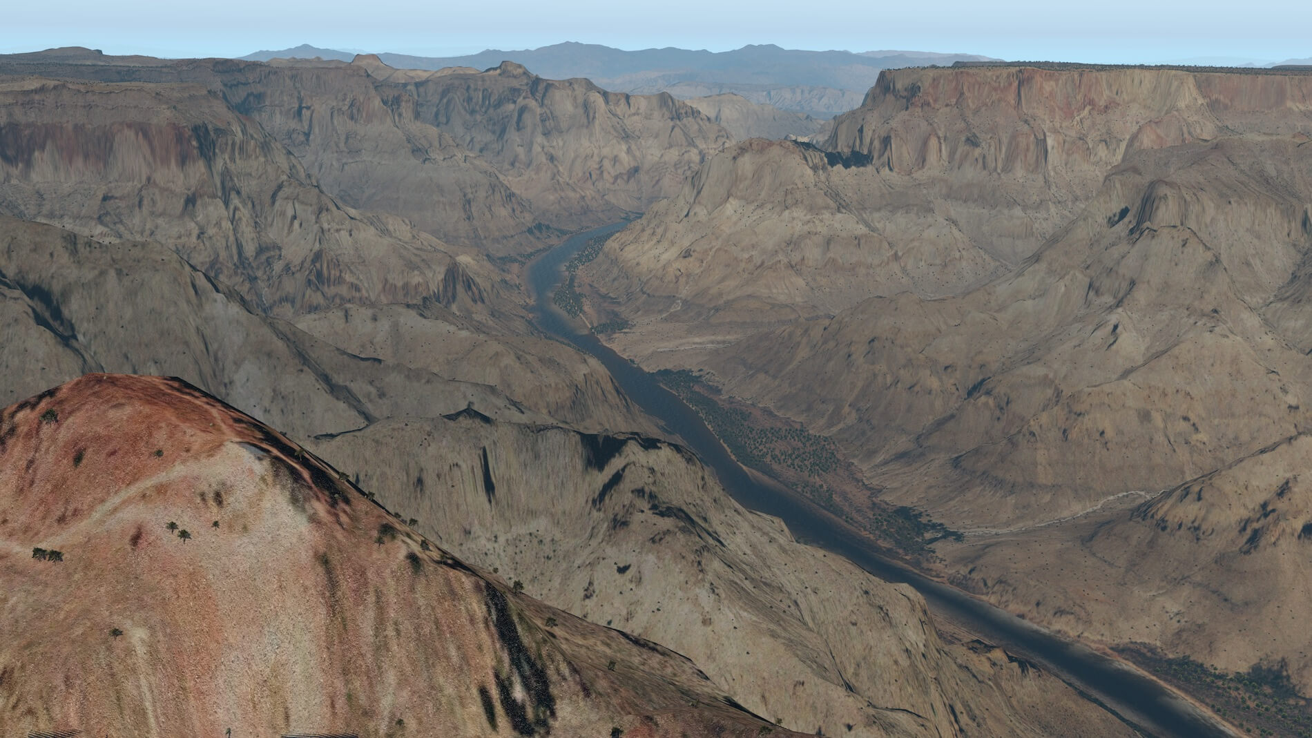
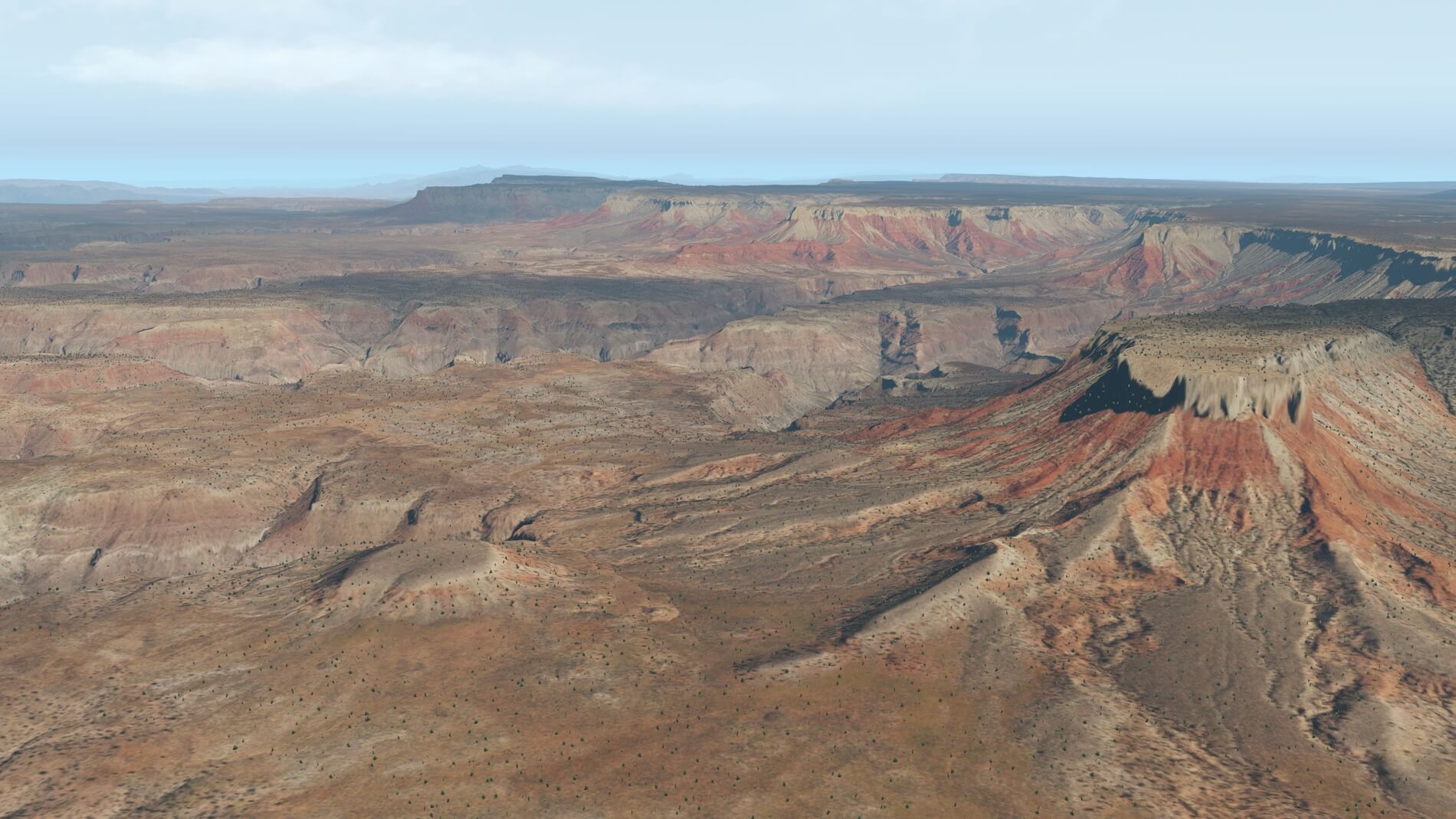
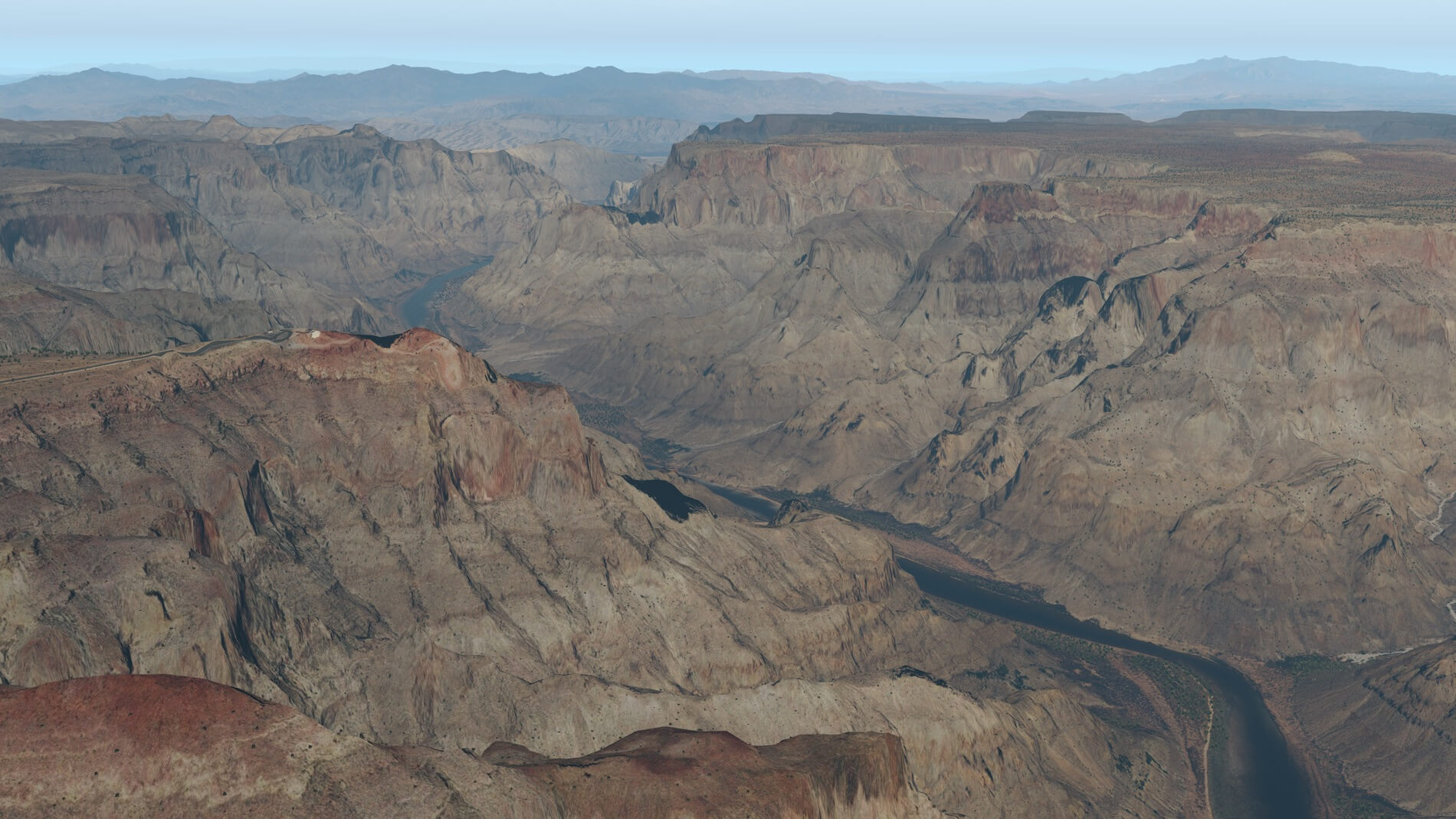
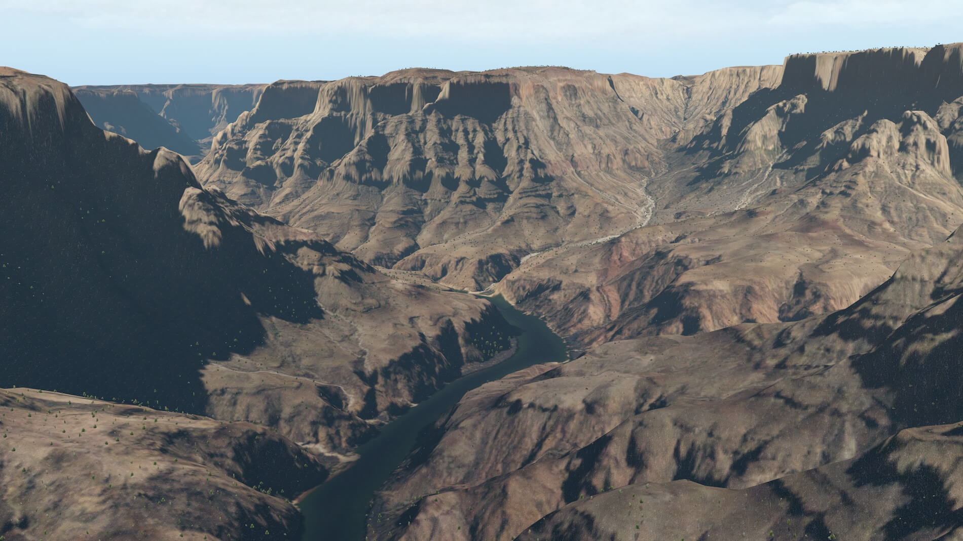
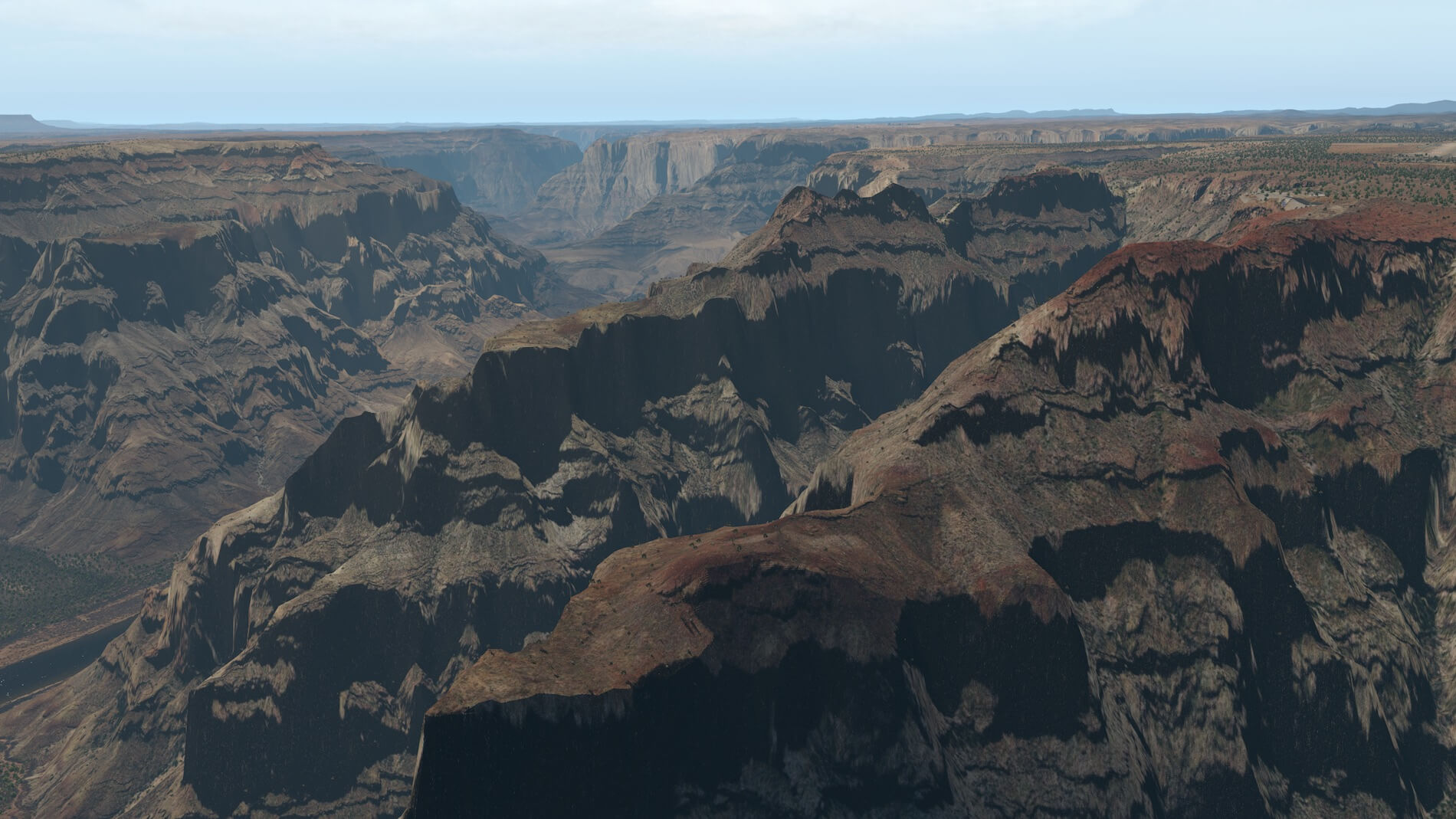
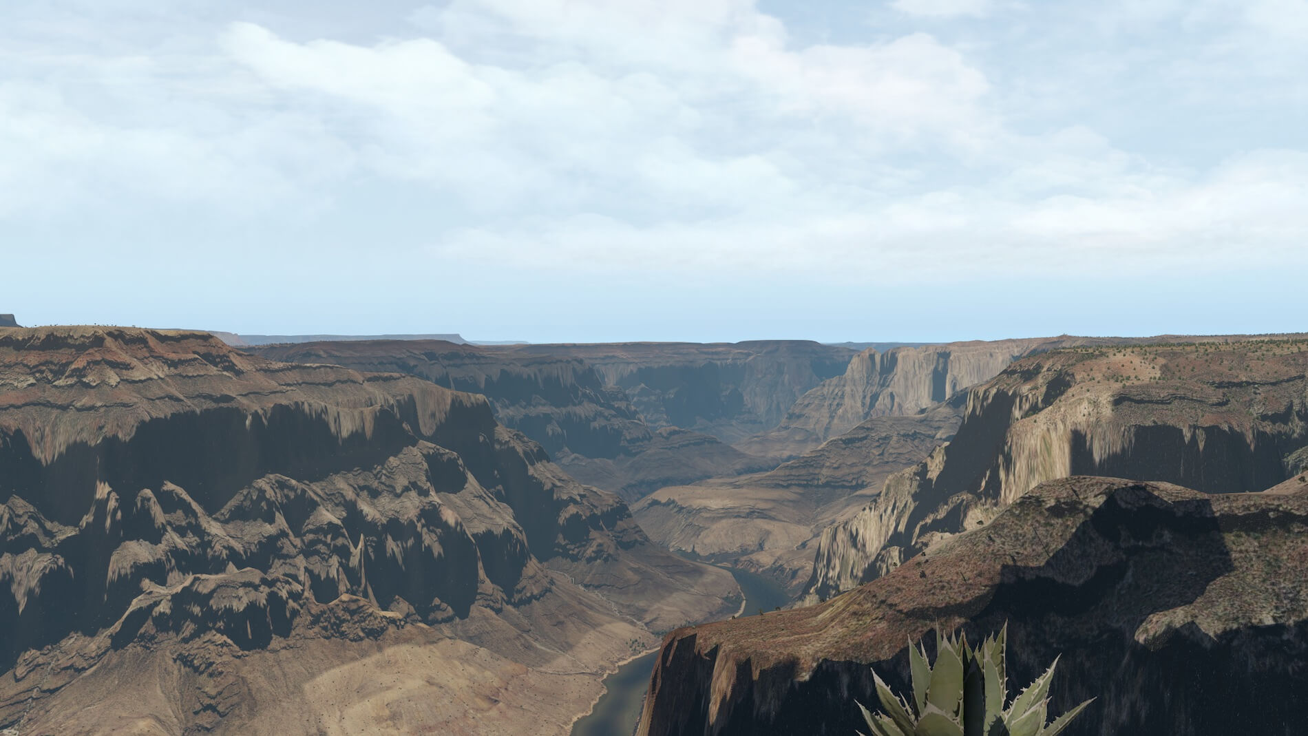
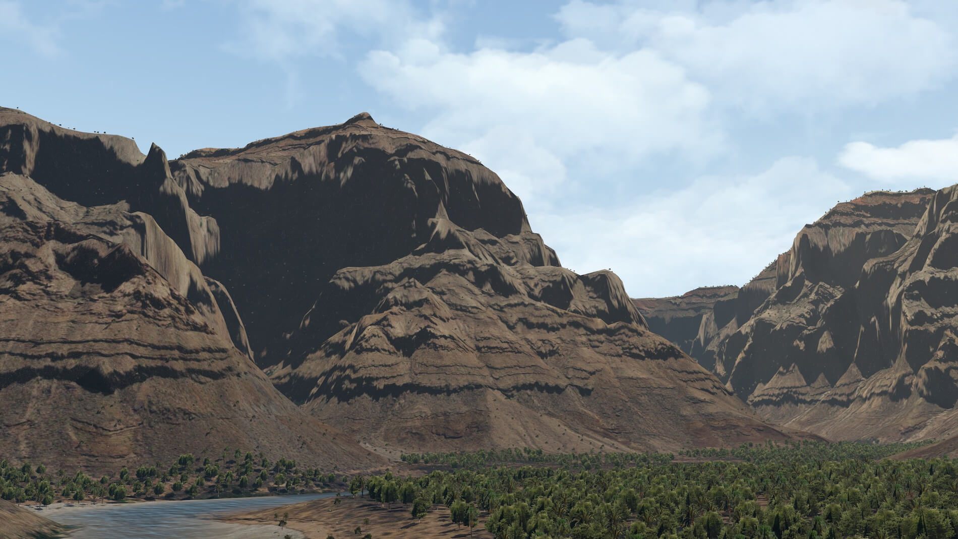
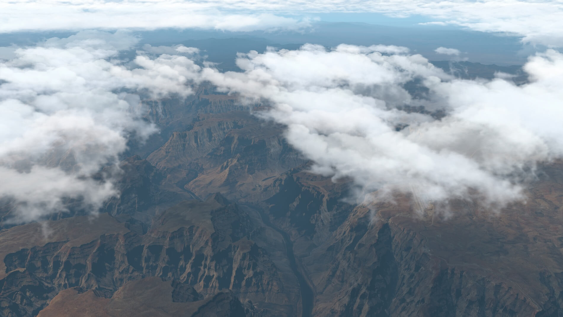
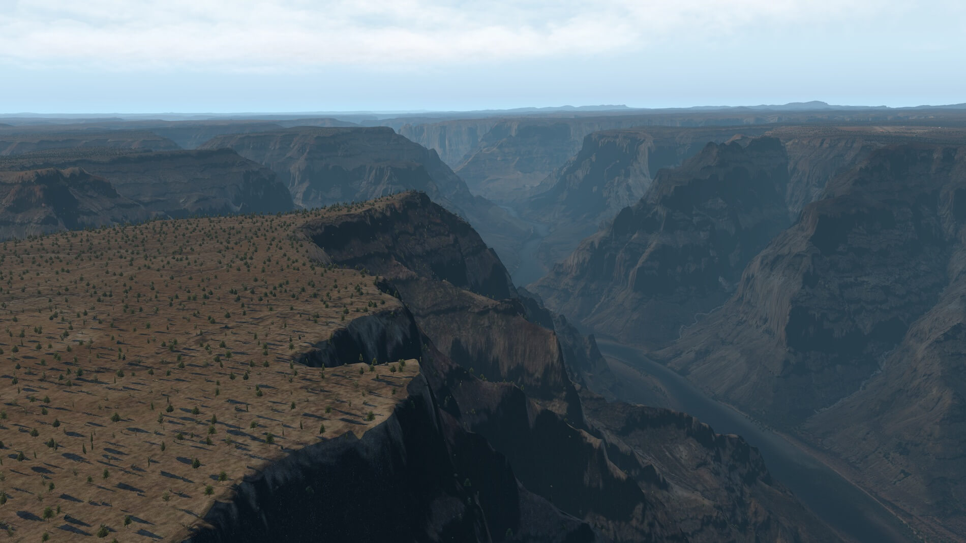
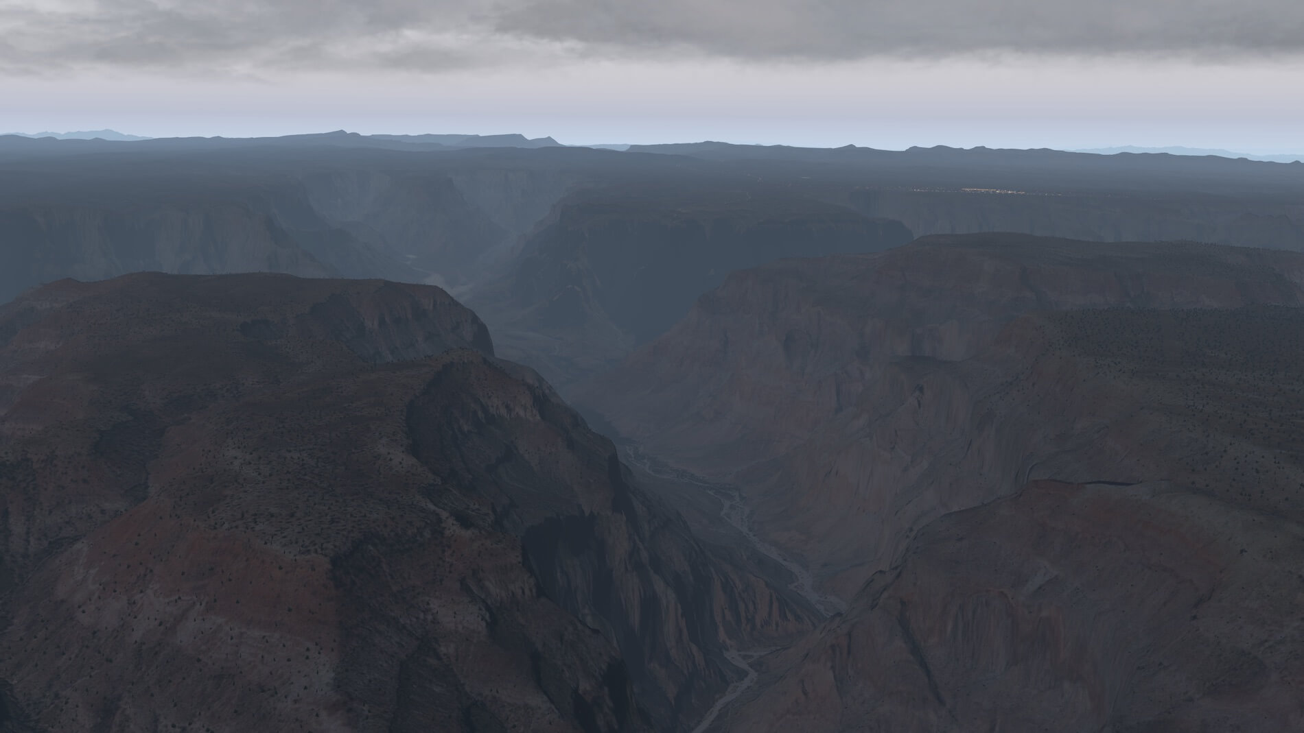
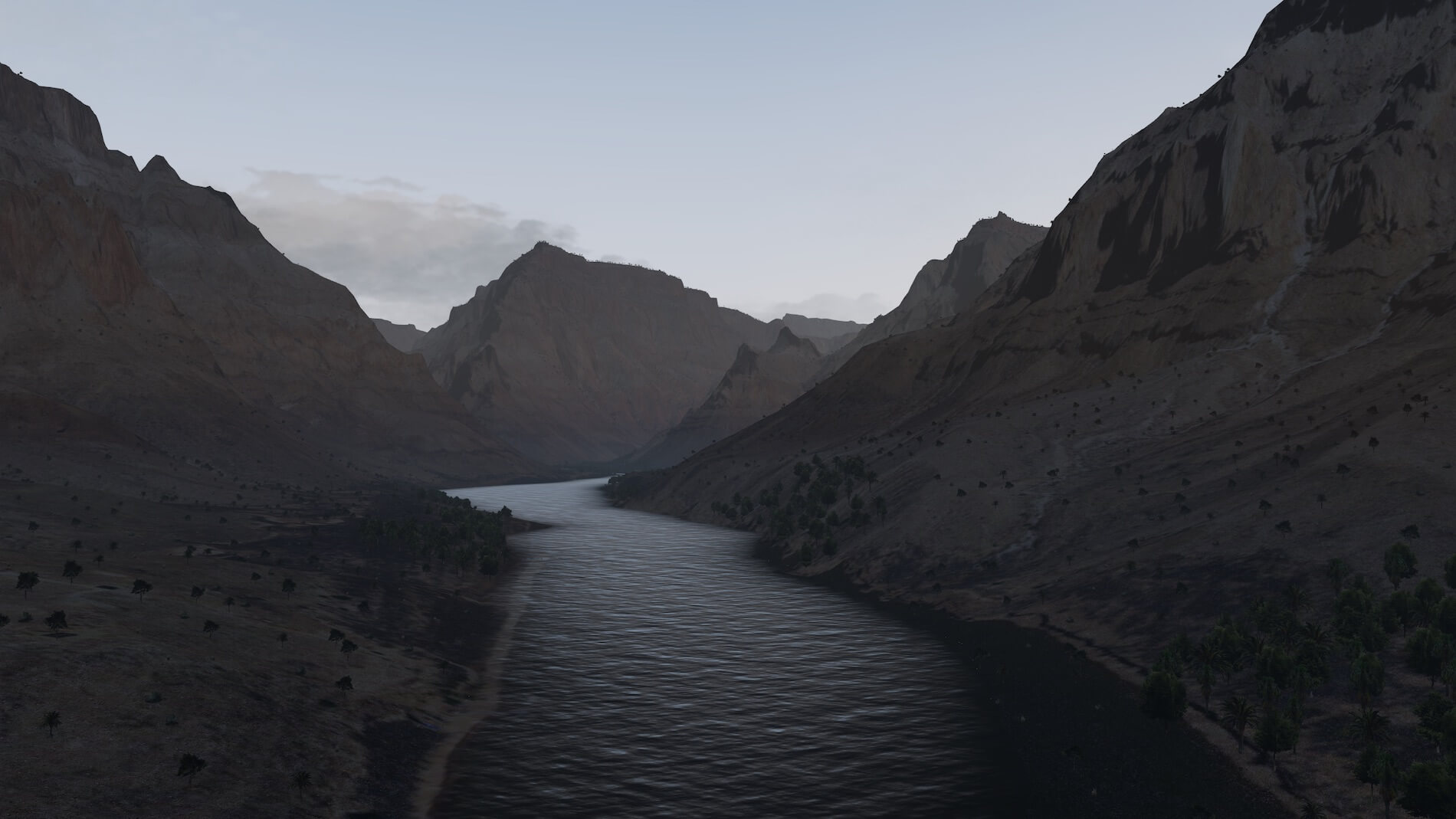
This is just a small screenshot impression of Forkboy2 ortho photo Grand Canyon HD. There’s of course much more to see, and a lot to download and a lot of time needed to convert the JPG files into DDS files. Long story short; it was worth the time and waiting as you can see for yourself. Just to give you the right feeling; these screenshots are a combination of the packages Arizona and Arizona – Grand Canyon HD as well as the belonging overlay files.
According to Forkboy2 “This project provides high quality orthophoto scenery for X-Plane that can be easily shared among the community. For now, I’m working on the United States; however, if you know of a good WMS or Tile server containing public domain imagery from other countries, post a comment and I will take a look. Each orthophoto package will cover a large region that may include multiple states, or a portion of a large state. Each package includes the following:
- High resolution orthoimagery, which is a combination of ZL16 (2.4 m/p) for flyover areas and ZL17 (1.2 m/p) near airports.
- High resolution elevation data based on 1/3 arc-second USGS DEM (~10 meter spacing between elevation points).
- Road networks and custom autogen buildings from HD Mesh Scenery Version 3 and HD Mesh Scenery Version 4 and (with permission from Alpilotx).
- Custom water masks (with some of the packages)
- Some areas created with or filled with ZL14 imagery from Sentinel-2 cloudless – https://s2maps.eu by EOX IT Services GmbH (Contains modified Copernicus Sentinel data 2016 & 2017)”
Enjoy!


0 Comments